Hoeryong (Hoeryŏng)
Hoeryŏng is a city in North Hamgyong Province, North Korea. It is located opposite Jilin Province, China, with the Tumen River in between. Sanhe (三合鎮), in Longjing City, is the closest Chinese town across the river. Hoeryŏng is the birthplace of Kim Il Sung's first wife and Kim Jong Il's mother, Kim Jong Suk. The Hoeryong Revolutionary Site commemorates the birthplace.
The Hoeryŏng concentration camp (Kwalliso No. 22) is located 20 km from the city.
Hoeryŏng was one of the six posts/garrisons (Chosŏngŭl: 육진, Hanja: 六鎭) established under the order of Sejong the Great of Joseon (1418 - 1450) to safeguard his people from the potentially hostile semi-nomadic Jurchens living north of the Yalu river. In 1952, some territories of Hoeryŏng (then a county), which included myoen of Poŭl and parts of myoens of Yonghung and Pyŏksŏng, were incorporated into the then newly created Yusŏn county. After the 1974 incorporation of Yusŏn county, the Yusŏn region became a up and was renamed as Yusŏn worker's region. In early May 2007, the newly appointed Prime Minister Kim Yong-il visited Hoeryŏng. At the time, the Prime Minister brought with him on his train one carriage worth of glass (made in South Korea) and 3 carriages worth of cement. After delivering the goods to the People's Committee of Hoeryŏng he ordered that the city of Hoeryŏng be decorated and adorned as much as a city where Mother Kim Jong Suk's birthplace should be.
Map - Hoeryong (Hoeryŏng)
Map


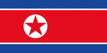
Country - North_Korea
 |
 |
| Flag of North Korea | |
In 1910, Korea was annexed by the Empire of Japan. In 1945, after the Japanese surrender at the end of World War II, Korea was divided into two zones along the 38th parallel, with the north occupied by the Soviet Union and the south occupied by the United States. Negotiations on reunification failed, and in 1948, separate governments were formed: the socialist and Soviet-aligned Democratic People's Republic of Korea in the north, and the capitalist, Western-aligned Republic of Korea in the south. The Korean War began in 1950, with an invasion by North Korea, and lasted until 1953. The Korean Armistice Agreement brought about a ceasefire and established a demilitarized zone (DMZ), but no formal peace treaty has ever been signed.
Currency / Language
| ISO | Currency | Symbol | Significant figures |
|---|---|---|---|
| KPW | North Korean won | â‚© | 2 |
| ISO | Language |
|---|---|
| KO | Korean language |